
 When severe weather is predicted on Delmarva, whether it is snow, heavy rain or other types of storms, social media comments are often critical of meteorologists. Posts claiming “they are just guessing,” or “how do they always get this wrong, “and even “these are just clickbait to scare people.” The fact is that predicting weather on Delmarva is extremely difficult.
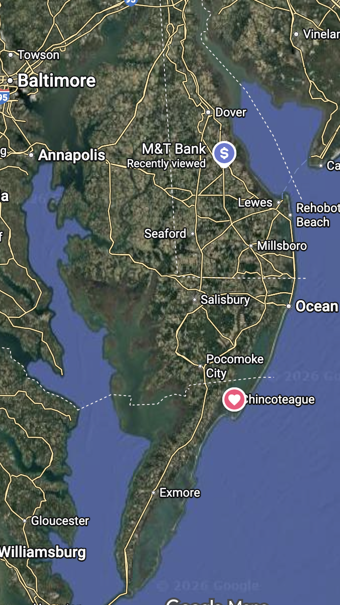
The Delmarva Peninsula is at a crossroads of competing weather influences, making it one of the more challenging regions to forecast accurately. Mike Sydel, who is now a meteorologist with the Weather Channel, but spent many years with WBOC in Salisbury, was once asked in an interview where he worked that had weather that was the most difficult to predict. Without hesitation, he said “Delmarva.”
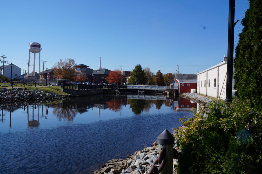
One of the biggest factors affecting Delmarva weather is water. Bordered by the Atlantic Ocean to the east, the Chesapeake Bay to the west and the Delaware Bay to the north, the peninsula is surrounded by large bodies of water that heat and cool more slowly than land. In winter, the waters can be just warm enough to turn snow into sleet or rain, especially near the coast. In summer, cooler ocean air can suppress thunderstorms or create sudden temperature drops near the shoreline. Small changes in wind direction, even just a few miles per hour, can dramatically alter how a storm behaves once it arrives on Delmarva.
Delmarva is also a battleground for air masses. Cold, dry air from Canada often clashes with warm, moist air moving up from the Gulf of Mexico or the Atlantic. When these air masses meet, the result can be rain, snow, ice or a mix of all three, often within the same storm.
Unlike mountainous regions where elevation can impact weather, Delmarva is relatively flat which you would think would make forecasting easier. In fact, it has the opposite effect as without strong topographical features to lock in weather patterns, storms can weaken, strengthen or change direction easily on a flat terrain. Sea breezes, bay breezes and subtle temperature differences between farmland, forests and developed areas all impact how a storm evolves. These changes can occur on a very local scale.
Nor’easters and coastal storms pose particular problems to forecasters as they often intensify rapidly offshore. Slight changes in their track can have major consequences for Delmarva. If a storm tracks just a bit farther east, much of the peninsula may see much less precipitation. A shift west and the region could experience heavy snow, strong winds or coastal flooding. Forecast models struggle to pinpoint tracks days in advance which leads to uncertainty until a storm is very close.
Modern forecasting relies on sophisticated computer models, but like any computer program, they have limitations. Delmarva’s complex mix of land, water and shifting air masses can expose those limits rather quickly. This is why meteorologists compare multiple models and look for trends rather than just relying on one. This is why forecasts change as new data comes in. It is important to know this is not guesswork, but refinement as the atmosphere reveals more information, the storm gets closer and air temperatures are refined.
Changing forecasts are normal even though residents may be frustrated when they hear them. To meteorologists, they are a sign the system is working as intended. As storms approach and more data becomes available, forecasts are adjusted to reflect reality more accurately. Here on Delmarva, even small changes can have big impacts.
In short, predicting the weather on Delmarva is difficult as the region sits at the intersection of land and sea, north and south, warm and cold. That complexity means forecasts will never be perfect, but it also makes Delmarva weather endlessly fascination even when it refuses to cooperate.